Looking for 800+ Acres?

El Dorado is THE site in the state of Kansas that can accommodate your Mega Project.
In addition,
El Dorado has the capacity for 10 MGD of Drought/Resilient water.
· Two adjacent tracts, privately owned property by two owners
· Could be combined to one parcel
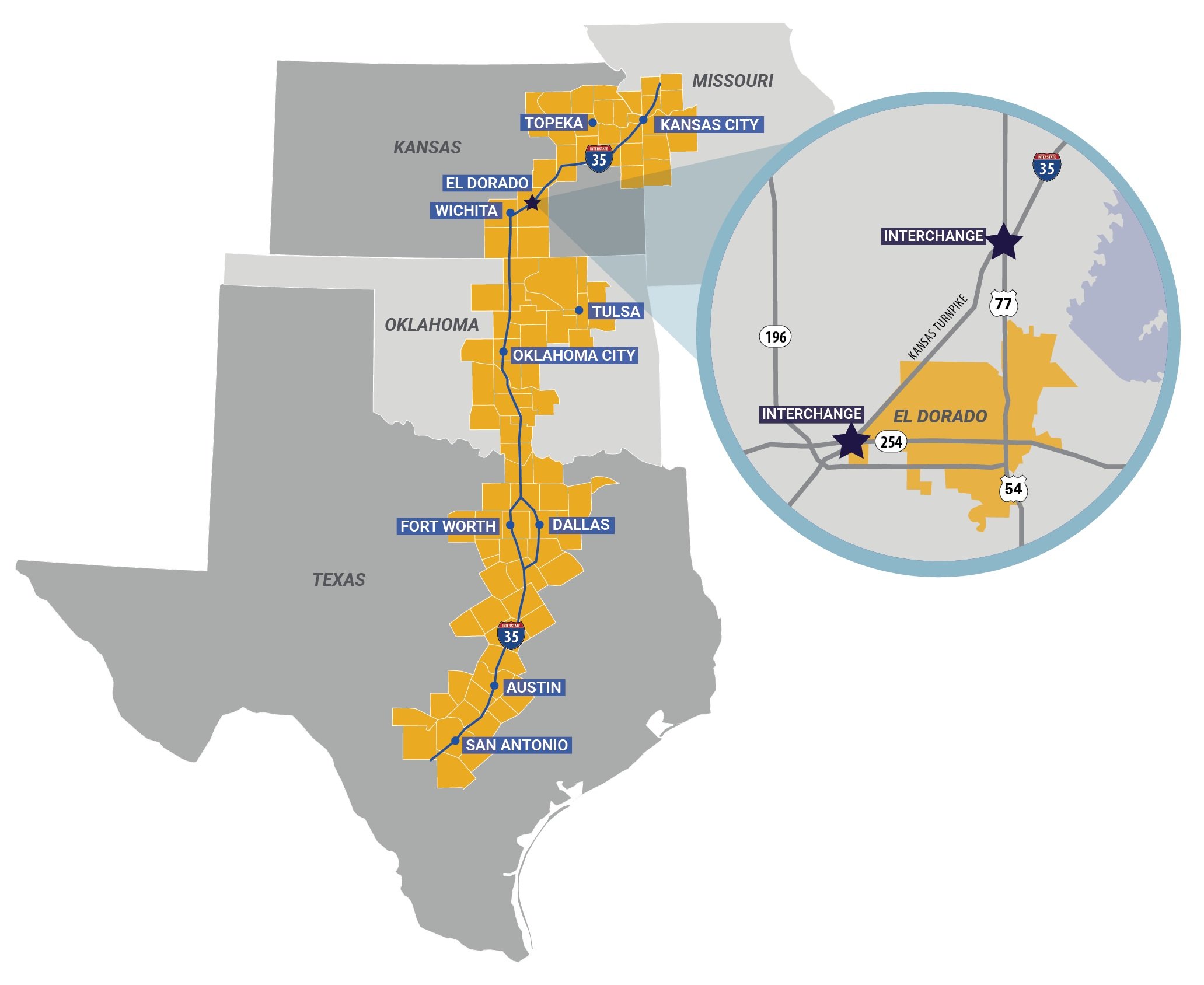
· Visibility from I-35
· Transload facility located on BNSF’s main line within five miles
· Access to BNSF Railway and Union Pacific
· Regional Labor shed of nearly 400,000 within a 60-mile radius
HIT THE EASY BUTTON
Choose El Dorado, Kansas for your next site location!

Rail
BNSF Railway mainline runs through El Dorado
Rail Spur connecting to BNSF has existing ROW into industrial area
BNSF will require unit train capacity to provide daily service
Current accessible service through Savage Services transload facility
Provides five days a week service
Transload
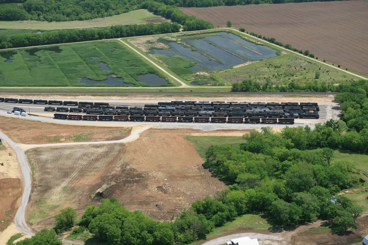
Transload service provider is Savage Services, located just outside of El Dorado City limits and 5 miles from site.
Multi-commodity transloading is available for tank car, flat car, boxcar, pneumatic railcar, hopper railcar transloading and container unloading. Acreage is available for laydown space.
Transload service capacities: Multi-commodity (liquid bulk, dry bulk, liquid hazardous material, dry hazardous material, steel, lumber and dry commodity transloading).
BNSF Railway locomotive on site to provide railcar switching at transload facility.
Intermodal
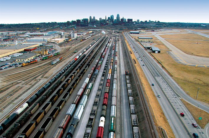
Served by BNSF at Logistics Park Kansas City intermodal facility located 134 miles from site
Air
37 miles to Wichita Dwight D Eisenhower National Airport (ICT)
Col. James Jabara Airport - 20 minutes west - general aviation reliever airport and is home to world-class technical education center that supports the aviation/manufacturing industries


Transportation Access
Roads and Interstates
City will bring transportation and grant dollars to the table and negotiate the balance of the cost with the new owner based on their percent of usage and other ROI factors.
Conceptual plans for a traffic way from I-77 to Oil Hill Road are on the City Capital improvement plan and will be built based on industrial demand
Two interchanges with access to I-35 within 2 miles
Located mid-point on the emerging I-35 Corridor Megalopolis
Trucks are permitted without weight limits on truck routes
Demographics
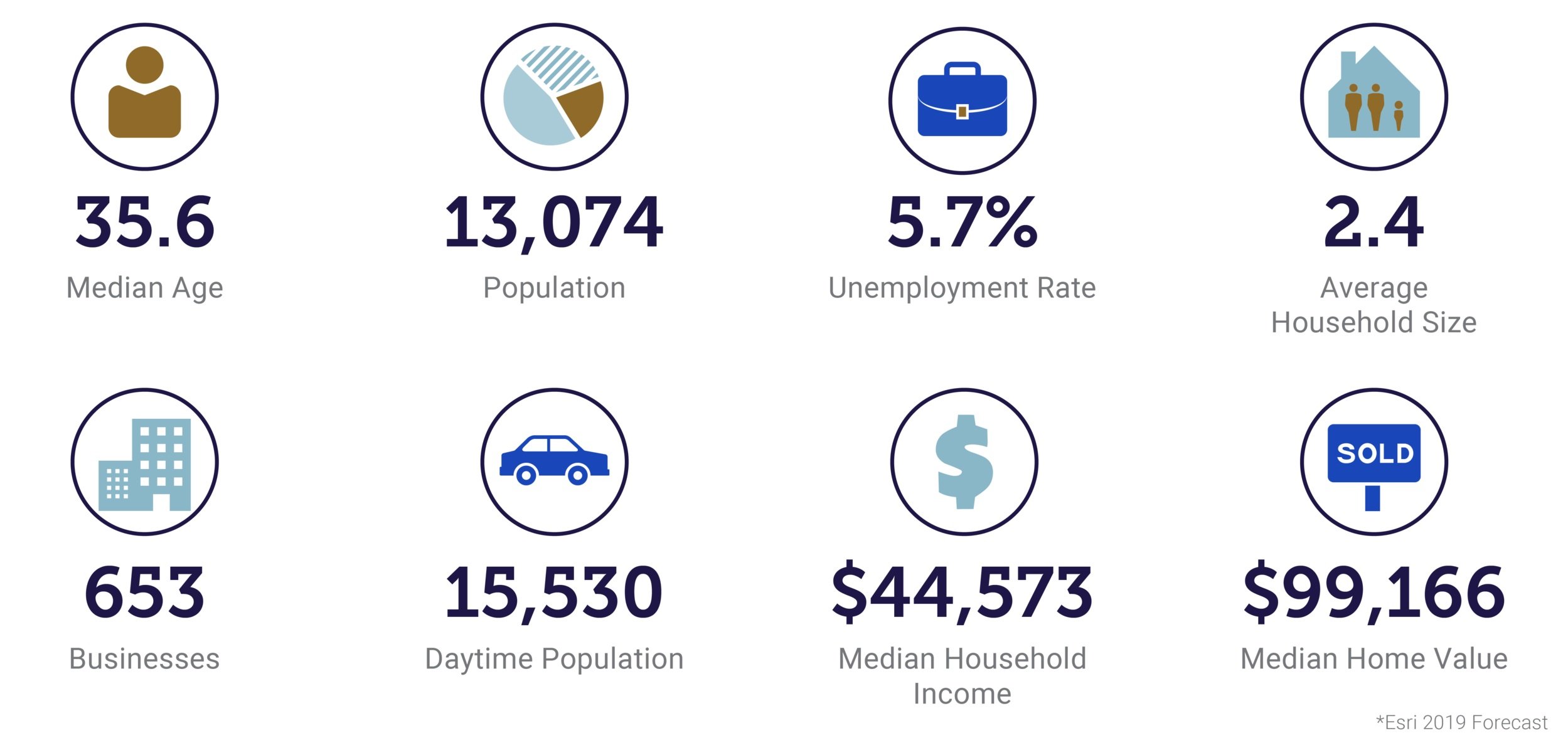

Civilian Labor Force Participation Rate for Butler County : 62%
Tax Climate


-
Sales tax is collected from El Dorado residents and non-residents on the purchase of tangible goods and services within the city. El Dorado has a 1-cent sales tax supporting general operations, including but not limited to Economic Development, Street Rehabilitation, and Property Tax Reduction.
Special taxing districts are used in other nearby cities and throughout the State. In certain new development areas of El Dorado, there is an additional sales tax for Community Improvement Districts (CID).
Sales Tax-City of El Dorado, KS
State Tax = 6.5%
City - General Tax = 1.0%
Total Sales Tax Rate = 7.5%
The sales tax in the following areas increased 2.00% to 9.5%
El Dorado - Business Park- 3000 block (CID)
El Dorado - Business Park- 3200 block (CID)
El Dorado - West Central 2500 Block (CID)
El Dorado - West Central 2700 Block (CID)
El Dorado Plaza- West Central 2400 Block (CID)
-
2023 mill levy is 161.683 or 165.583 per 1000 of assessed value in our industrial area, depending on if the property is in Circle or El Dorado School Districts. Commercial assessed valuation is determined as 25 percent of appraised value of land and building(s).
-
Machinery & Equipment is exempt from personal property tax in the state of Kansas. Effective July 1, 2006: Business machinery and equipment newly purchased, leased or moved into Kansas is exempt from property tax. This is of particular benefit to capital-intensive manufacturing operations. The exemption applies equally to manufacturing equipment and office business equipment, furniture and fixtures. Items of business personal property under $1,500 original purchase price are also exempt from property tax regardless of date of purchase.
Permits, Health, Safety and Environmental
No public meetings are required.
Regulatory agencies for the property are the City of El Dorado, Kansas Department of Health and Environment (KDHE)
Necessary permits / approvals required: City – Building Permit, KDHE – Storm, Pollution, Storm Water & Water Pollution Control Permit (SWPPP); City – Discharge Pre-treatment Agreement, City-Development agreement covering water and sewer rates, infrastructure improvements to include road and rail.
KDHE – Air Quality Permit if needed, City – Special Use Permit if needed.